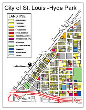
Hyde Park Neighborhood Map
- My first real paying job was working for the City of St Louis as a GIS tech.
- We digitized the entire city to parcel level, including the building footprints.
- We used large graphics tablets to plot points from old plat maps.
- This data was merged with a database to ultimately come up with maps like the one above.
- Our finest hour was a flood map we plotted during the great flood of 1993.
- The maps and information helped the National Guard plan their response.